Maps
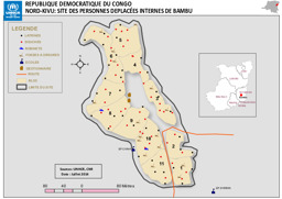
Nord-Kivu province: Situation map on IDPs in Bambu
Republique Democratique du Congo; Nord-Kivu: Site des Personnes Deplacées Internes de Bambu (Map or infographic, French)
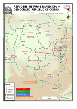
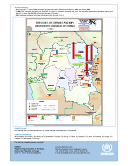
Situation map on displacement (distribution of refugees; distribution of returnees; distribution of IDPs) (as of 31 May 2014)
Refugees, Returnees and IDPs in Democratic Republic of Congo; May 31, 2014 (Map or infographic, English)
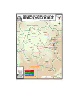
Situation map on displacement (distribution of refugees; distribution of returnees; distribution of IDPs) (as of 30 April 2014)
Refugees, Returnees and IDPs in Democratic Republic of Congo; April 30, 2014 (Map or infographic, English)
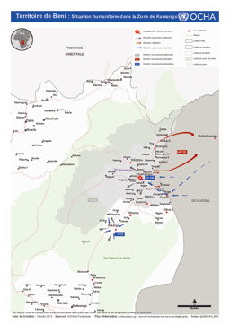
Beni territory: Situation map on the humanitarian situation in Kamango (as of 19 July 2013)
Territoire de Beni: Situation humanitaire dans la Zone de Kamango (Map or infographic, French)
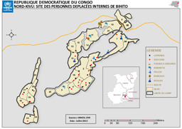
Nord-Kivu province: Situation map on IDPs in Bihito
Republique Democratique du Congo; Nord-Kivu: Site des Personnes Deplacées Internes de Bihito (Map or infographic, French)
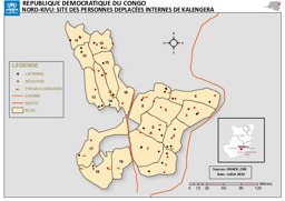
Nord-Kivu province: Siuation map on IDPs in Kalengera
Republique Democratique du Congo; Nord-Kivu: Site des Personnes Deplacées Internes de Kalengera (Map or infographic, French)
Situation map on displacement (distribution of refugees; distribution of returnees; distribution of IDPs) (as of 31 March 2013)
Refugees, Returnees and IDPs; Democratic Republic of the Congo; 31/03/2013 (Map or infographic, English)
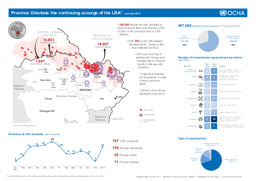
Infographic of displacement caused by activities of the Lord's Resistance Army in the Democratic Republic of the Congo, the Central African Republic and South Sudan (as of January 2013)
Democratic Republic of Congo: Province Orientale: the continuing scourge of the LRA - January 2013 (Map or infographic, English)
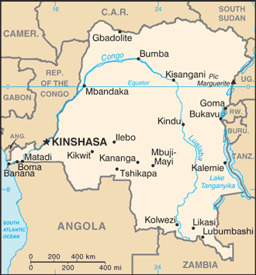
Small map with main cities
Congo, Democratic Republic (former Zaire) (Small Map) 2013 (Map or infographic, English)
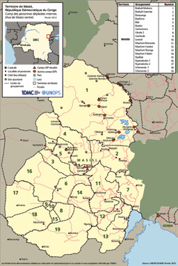
Masisi Territory: Situation map on the distribution of IDP camps (as of February 2012)
Territoire de Masisi, camp des personnes déplacées internes (Axe de Masisi centre), Internal Displacement Monitoring Centre (IDMC) (February 2012) (Map or infographic, French)

Documents found: 552
