Landkarten

Kleine Landkarte
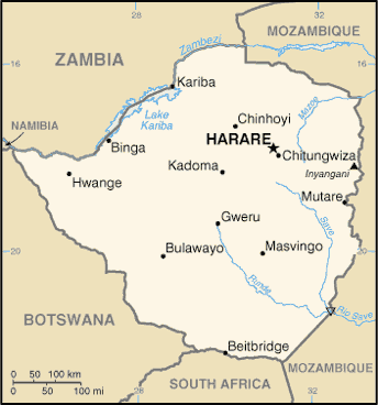
Zimbabwe (Small Map) 2013 (Landkarte oder Infografik, Englisch)
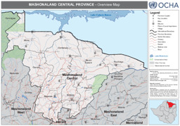
Landkarte zur Provinz Mashonaland Zentral (26. Oktober 2009)
Zimbabwe: Mashonaland Central Province - Overview Map (as of 26 Oct 2009) (Landkarte oder Infografik, Englisch)
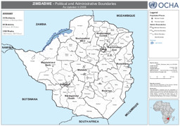
Landkarte zu politischen Grenzen und Verwaltungsgrenzen (5. Oktober 2009)
Zimbabwe: Political and Administrative Boundaries - As Updated in 2008 (as of 05 Oct 2009) (Landkarte oder Infografik, Englisch)
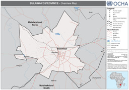
Landkarte zur Provinz Bulawayo (26. Oktober 2009)
Zimbabwe: Bulawayo Province - Overview Map (as of 26 Oct 2009) (Landkarte oder Infografik, Englisch)
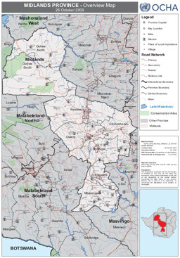
Landkarte zur Provinz Midlands (26. Oktober 2009)
Zimbabwe: Midlands Province - Overview Map (as of 26 Oct 2009) (Landkarte oder Infografik, Englisch)
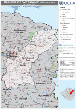
Landkarte zur Provinz Mashonaland East (26. Oktober 2009)
Zimbabwe: Mashonaland East Province - Overview Map (as of 26 Oct 2009) (Landkarte oder Infografik, Englisch)
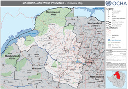
Landkarte zur Provinz Mashonaland West (26. Oktober 2009)
Zimbabwe: Mashonaland West Province - Overview Map (as of 26 Oct 2009) (Landkarte oder Infografik, Englisch)
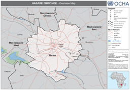
Landkarte zur Provinz Harare (26. Oktober 2009)
Zimbabwe: Harare Province - Overview Map (as of 26 Oct 2009) (Landkarte oder Infografik, Englisch)
Landkarte zur Provinz Matabeleland South (5. Oktober 2009)
Zimbabwe: Matabeleland South Province - Transportation Network (as of 05 Oct 2009) (Landkarte oder Infografik, Englisch)
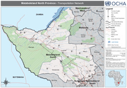
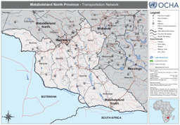
Landkarte zur Provinz Matabeleland North (5. Oktober 2009)
Zimbabwe: Matabeleland North Province - Transportation Network (as of 05 Oct 2009) (Landkarte oder Infografik, Englisch)
Gefundene Dokumente: 47
