Maps
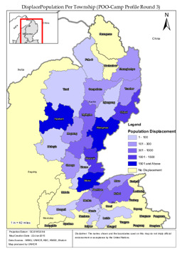
Situation map on the displaced population per township
DisplacePopulation Per Township (POO-Camp Profile Round 3) (Map or infographic, English)
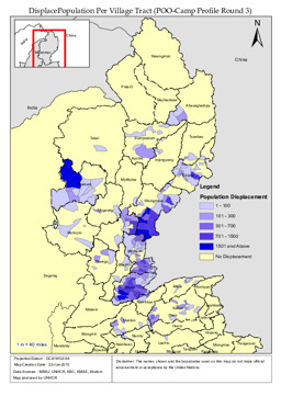
Situation map on the displaced population per village tract
DisplacePopulation Per Village Tract (POO-Camp Profile Round 3) (Map or infographic, English)
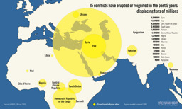
Infographic on the displacement caused by 15 conflicts in the previous 5 years (as of 18 June 2015)
15 conflicts have erupted or reignited in the past 5 years, displacing tens of millions (Map or infographic, English)
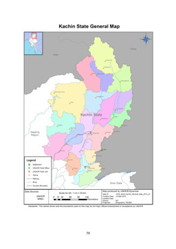
Kachin State: Political map with railway, rivers and main cities
Kachin State General Map (Map or infographic, English)
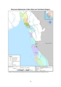
Situation map of returnee settlements in Mon State and Tanintharyi Region
Returnee Settlements in Mon State and Tanintharyi Region (Map or infographic, English)
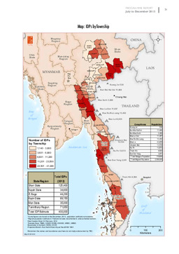
Situation map on IDPs in Myanmar
Map: IDPs by township; July to December 2013 (Map or infographic, English)
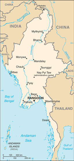
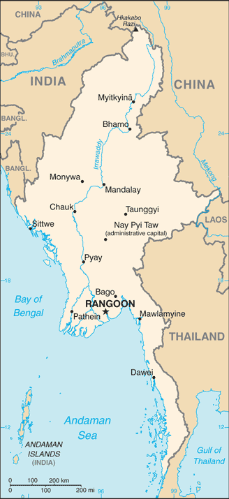
Small map with water bodies and main cities
Burma (Small Map) 2014 (Map or infographic, English)
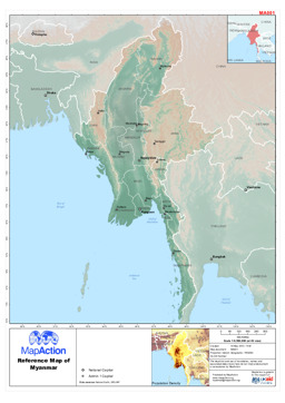
Political map with administrative divisions and main cities
Reference map of Myanmar (15 May 2013) (Map or infographic, English)
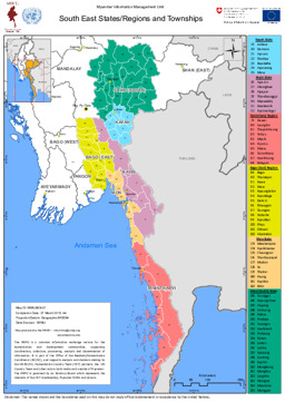
Political map of South-East states, regions and townships as of 27 March 2013
Myanmar: South East States/Regions and Townships (Map or infographic, English)
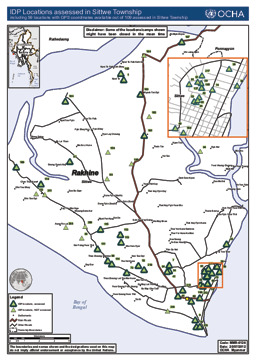
Situation map on the location of internally displaced persons in Sittwe township in Rakhine state (as of 20 July 2012)
IDP Locations assessed in Sittwe Township including 59 locations with GPS coordinates available out of 109 assessed in Sittwe Township (Map or infographic, English)
Documents found: 495
