Maps
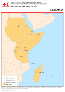
Situation map of country presences, subregional offices and regional delegations of the International Federation of Red Cross And Red Crescent Societies in East Africa
East Africa: IFRC presence (International Federation of Red Cross And Red Crescent Societies) (Map or infographic, English)
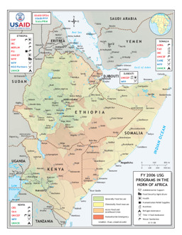
Situation map on emergency programmes in the Horn of Africa (agriculture, food security, health operations, refugees, water and sanitation)
FY 2006 USG programs in the Horn of Africa (as of 11 Apr 2006) (Map or infographic, English)
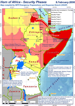
Situation map on security phases in the Horn of Africa
Horn of Africa - Security phases (as of 9 Feb 2006) (Map or infographic, English)
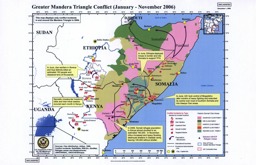
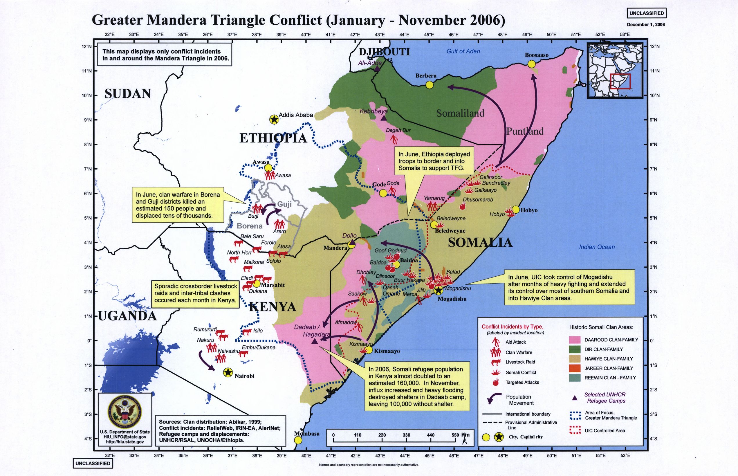
Situation map of conflict in the Mandera Triangle
Greater Mandera Triangle conflict (January-November 2006) (Map or infographic, English)
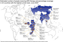
Infographic on the estimated number of people receiving antiretroviral treatment (as of June 2005)
Coverage of antiretroviral treatment (Map or infographic, English)
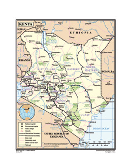
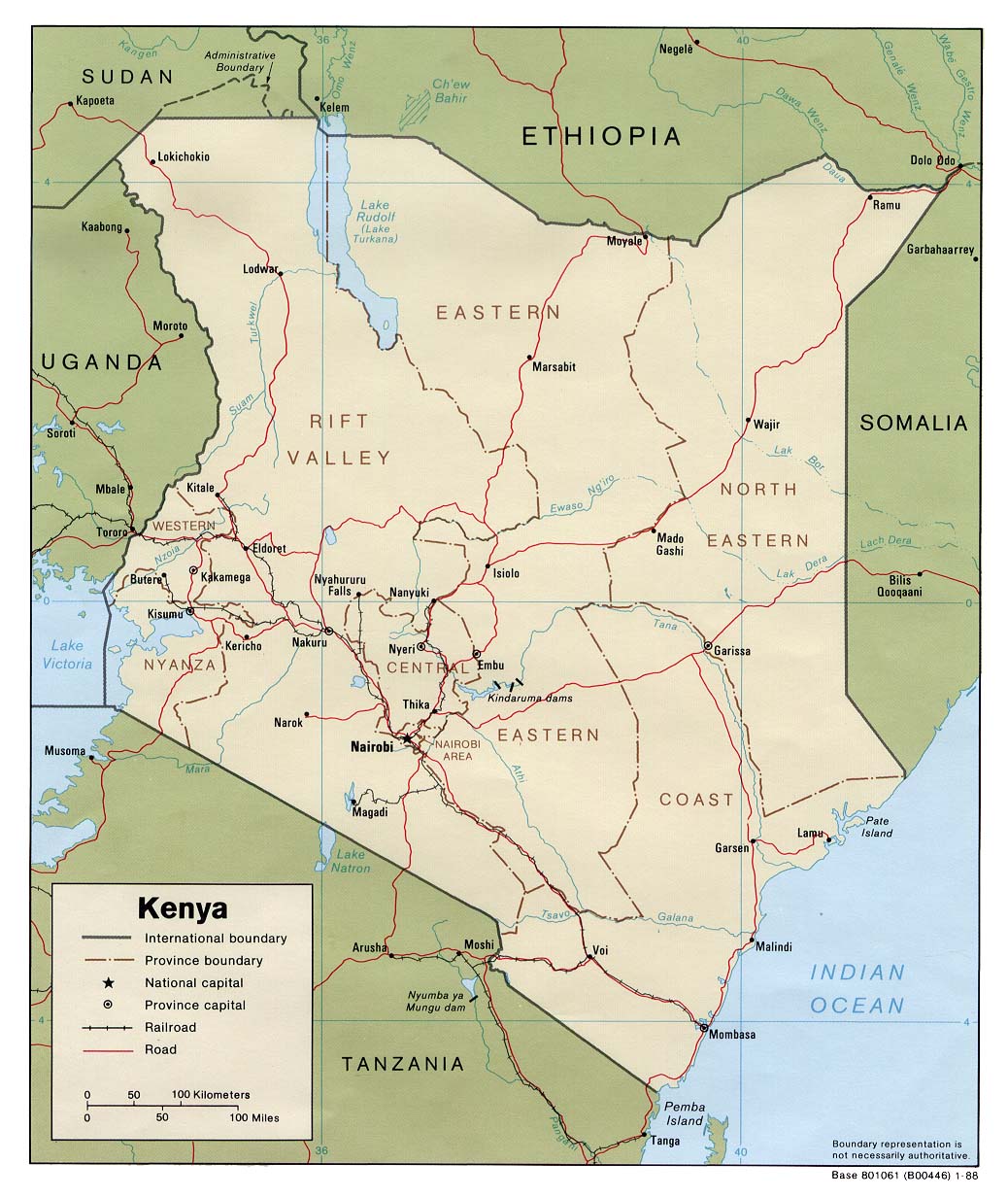
Reference map of Kenya
Reference map of Kenya (Map or infographic, English)
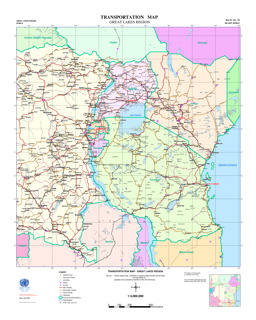
Great Lakes Region: Thematic map on infrastructure (roads; railway; airports), with main cities and water bodies
Transportation map - Great Lakes Region (Map or infographic, English)
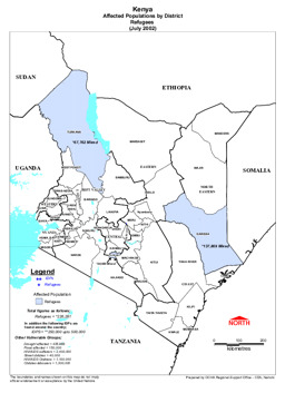
Map of Kenya (affected population by district - refugees)
Kenya Affected Population by District - Refugees (OCHA) (Map or infographic, English)

Political map
Political map (Map or infographic, English)
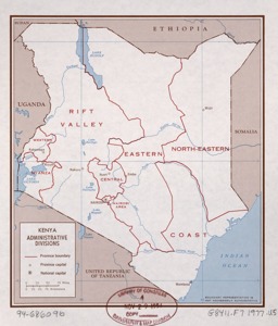
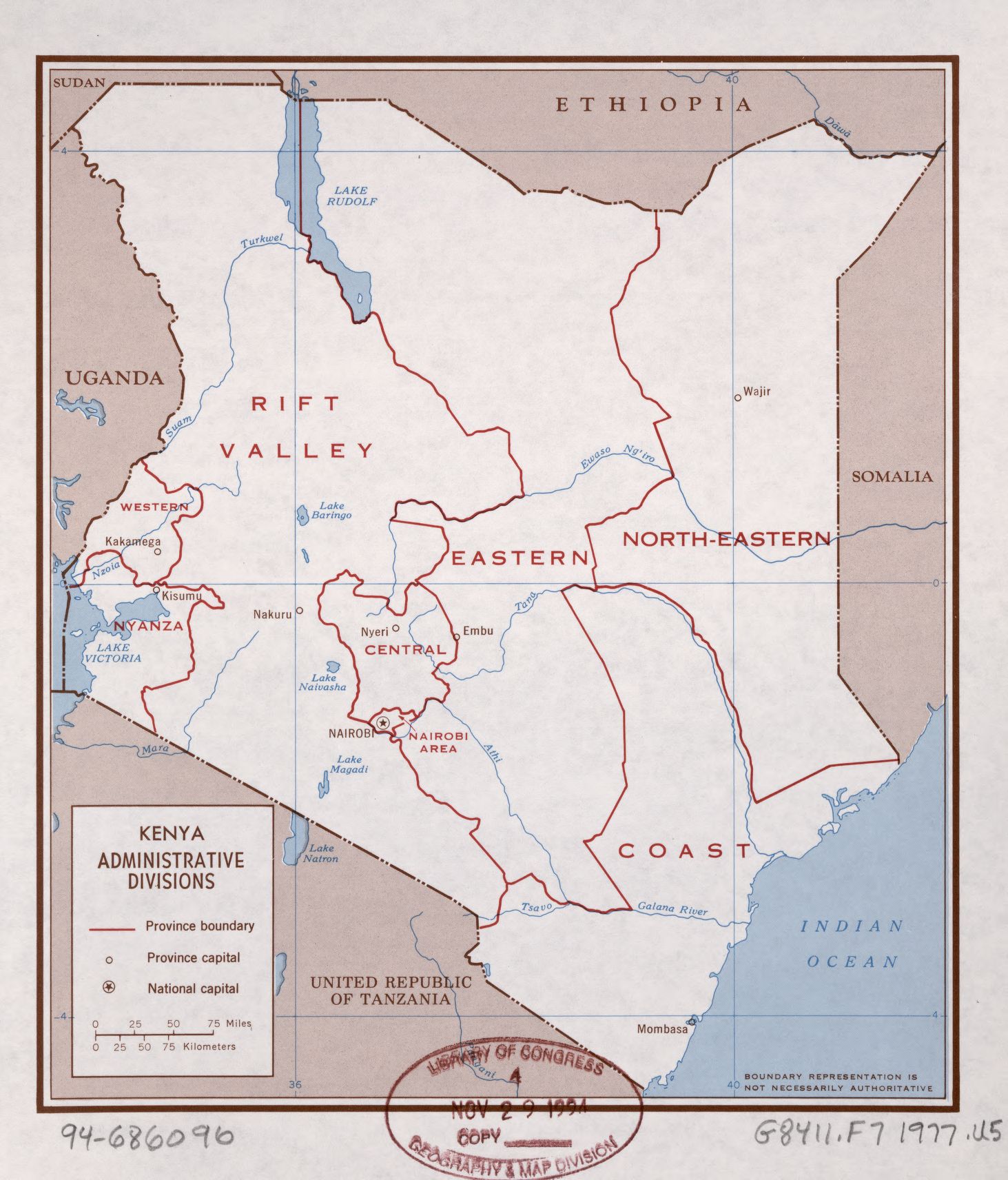
Map on administrative divisions
Kenya, administrative divisions (Map or infographic, English)

Documents found: 211
