Maps
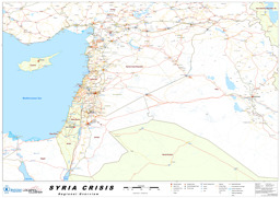
Situation map of camps for refugees and IDPs in and around Syria (as of 14 January 2013)
Syria Crisis; Regional Overview (Map or infographic, English)
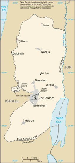
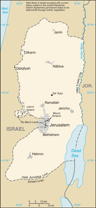
West Bank: Small map with water bodies and main cities
West Bank (Small Map) 2013 (Map or infographic, English)

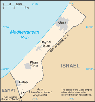
Gaza Strip: Small map with main cities
Gaza Strip (Small Map) 2013 (Map or infographic, English)
West Bank: Situation map of areas of Palestinian or Israeli security control
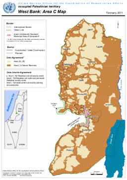
West Bank: Area C Map, UN Office for the Coordination of Humanitarian Affairs (UN OCHA) (February 2011) (Map or infographic, English)
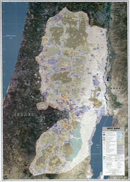
West Bank: Thematic map and situation map on infrastructure and area control
West Bank 2008 original scale 1:150,000 (Map or infographic, English)
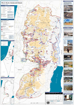
West Bank: Thematic map on access and closure
West Bank - Access and closure (October 2006) (Map or infographic, English)
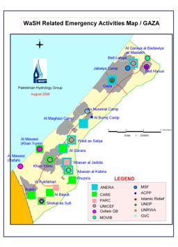
Gaza Strip: Situation map on WaSH related emergency activities
Occupied Palestinian Territory: WaSH related emergency activities map / Gaza (Map or infographic, English)
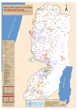
West Bank: Situation map on the distribution of health care facilities
Health care facilities in the Westbank (Map or infographic, English)
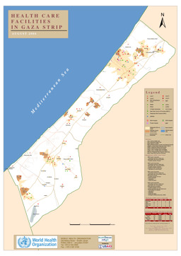
Gaza Strip: Situation map on the distribution of health care facilities
Health care facilities in the Gaza strip (Map or infographic, English)
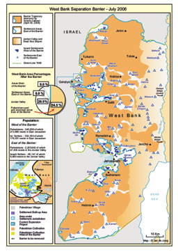
West Bank: Situation map of the separation barrier
West Bank separation barrier - July 2006 (Map or infographic, English)

Documents found: 34
