Maps
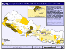
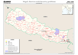
Map of security incidents
Security incidents (02 Jan - 31 Jan 2006) and municipalities with elections scheduled for 8 Feb (OCHA) (Map or infographic, English)
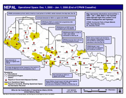
Map on relevant events between 1 December 2005 and 1 January 2006 (end of ceasefire)
Nepal: Operational Spance (01 December 2005 - 01 January 2006) (OCHA) (Map or infographic, English)
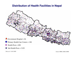
Map of health facilities
Distribution of health facilities in Nepal (WHO) (Map or infographic, English)
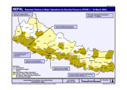
Map of reported clashes or major operations by security forces
Reported clashes or major operations by security forces or CPN/M (01-24 Mar 2005) (United Nations Office for the Coordination of Humanitarian Affairs) (Map or infographic, English)
02227nep.pdf associated with Map of Nepal
Nepal (Map or infographic, English)
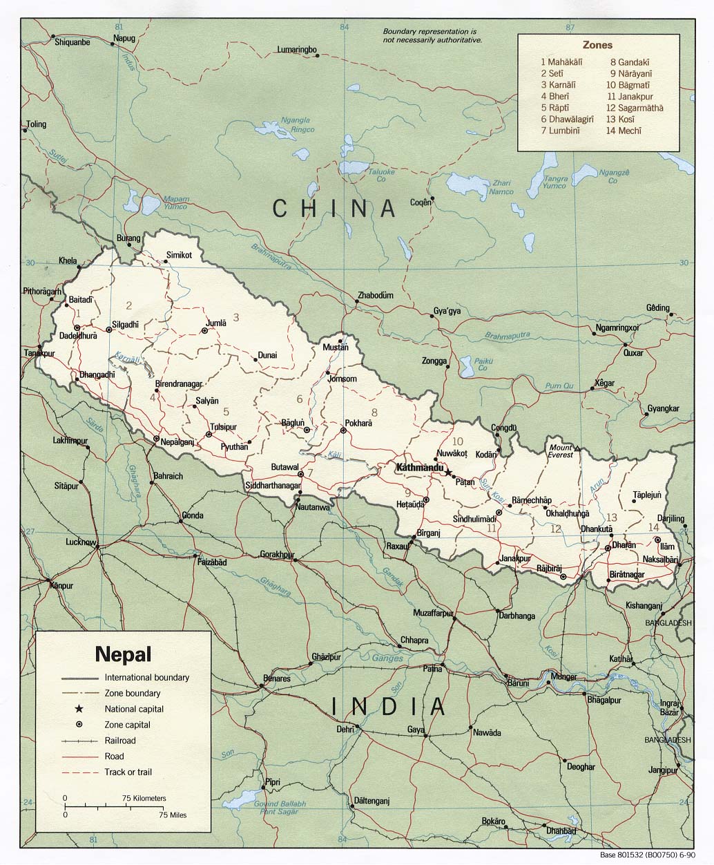
Political map
Nepal (Shaded Relief) 1990 (Map or infographic, English)

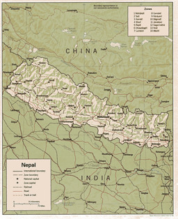
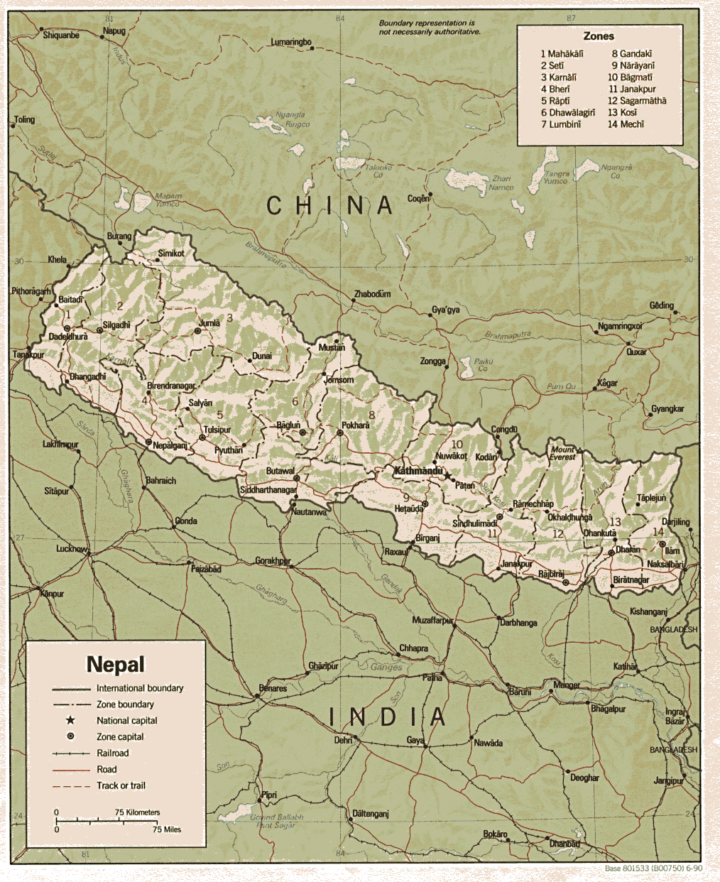
Political map
Political map (Map or infographic, English)

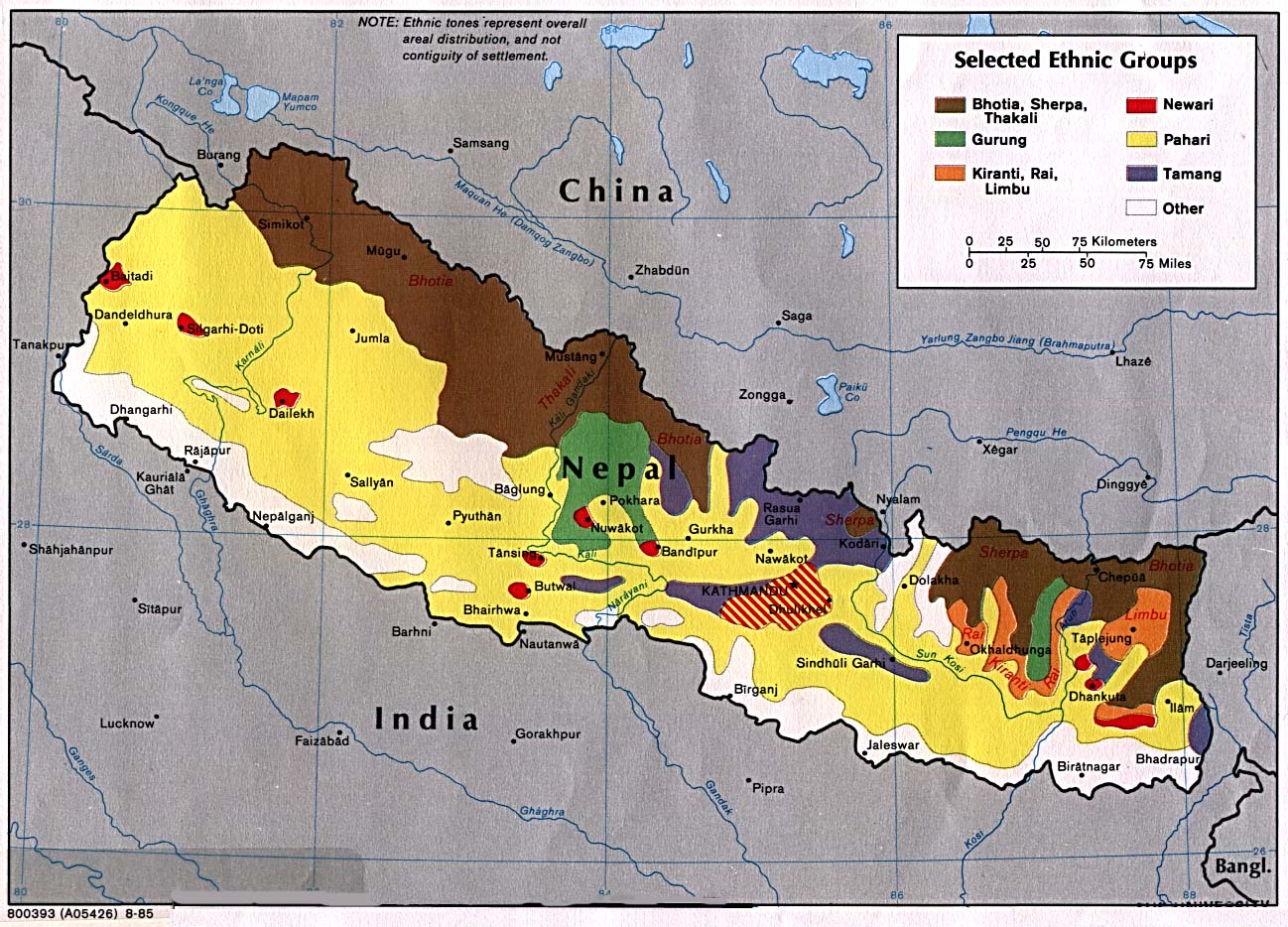
Selected ethnic groups
Nepal: Selected ethnic groups (CIA) (Map or infographic, English)

Map on selected ethnic groups in Nepal
Nepal (Selected Ethnic Groups) 1980 (Map or infographic, English)
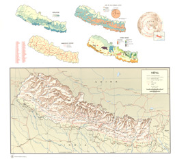
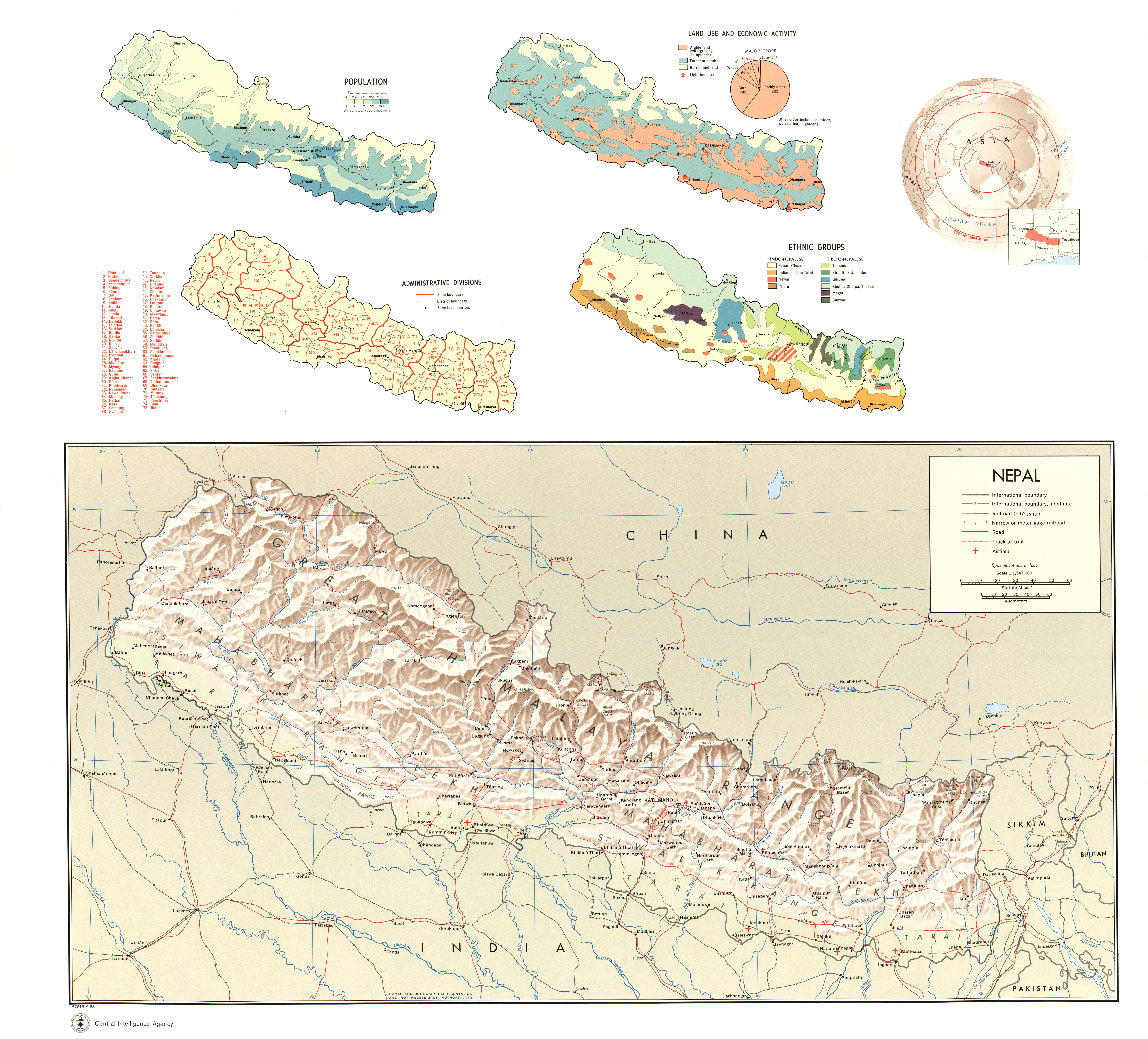
Map with insets (Population, Land Use and Economic Activity, Administrative Divisions, Location, Ethnic Groups, Shaded Relief)
Nepal (Population, Land Use and Economic Activity, Administrative Divisions, Location, Ethnic Groups, Shaded Relief) 1968 (Map or infographic, English)
Documents found: 66
