This page gives you an overview on maps about Iraq collected on ecoi.net. More maps are available in our full-text search.
Ethnic groups and topography
A 1992 CIA map shows the distribution of ethnoreligious groups in the country
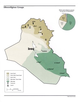
Population map on the distribution of ethnic groups and religious groups
Iraq: Ethnoreligious Groups From Iraq a Map Folio, CIA, 1992 (Map or infographic, English)

An atlas published by the Austrian ministries for interior and defence in 2016 contains maps on topography and administrative divisions (p. 7-8), religious groups (p. 17-18) as well as ethnic and linguistic groups (p. 19-20):

Political maps, population maps, thematic maps and situation maps with administrative divisions (district level) and with main cities (ethnic groups; linguistic groups; religious groups; oil and gas; security situation; other topics)
Atlas Syria & Iraq (Map or infographic, English)
In 2003, UNAMI published a map on the distribution of tribes:
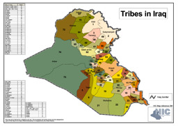
Population map on the distribution of tribes
Tribes in Iraq (Map or infographic, English)
In the ecoi.net search, you can find more maps on:
Administrative divisons
In 2021 UN OCHA published a map with administrative divisions on governorate and district level, water bodies and infrastructure:
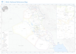
Thematic map with administrative divisions (region level, governorate level and district level) as well as primary roads and water bodies
Iraq: National Reference Map (Map or infographic, English)
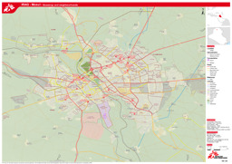
In 2017 the REACH Initiative published a map of the Kurdistan region with administrative divisions on governorate and district level, governorate and district capitals as well as infrastructure:
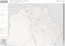
Kurdistan region: Thematic map with administrative divisions (governorate level; district level) and district capitals on the distribution of IDP and refugee camps as well as infrastructure
Iraq - Kurdistan Region of Iraq; As of June 2020 (Map or infographic, English)
A map published by the UN Cartographic Section in 2014 shows administrative divisions at the governorate level, main cities, water bodies and infrastructure:
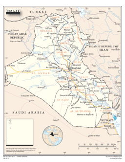
Thematic map with administrative divisions (governorate level) and towns as well as water bodies on infrastructure
Iraq (Map or infographic, English)
In 2003, UNAMI published maps on infrastructure and towns in several governorates: search on ecoi.net
Find more political maps in the ecoi.net search.
Cities
A city map of Mosul published by MSF in 2017 shows administrative divisions as well as infrastructure:
Mosul: City map with administrative divisions as well as infrastructure
Iraq: Iraq - Mosul - Basemap and neighbourhoods (as of 7 Feb 2017) (Map or infographic, English)
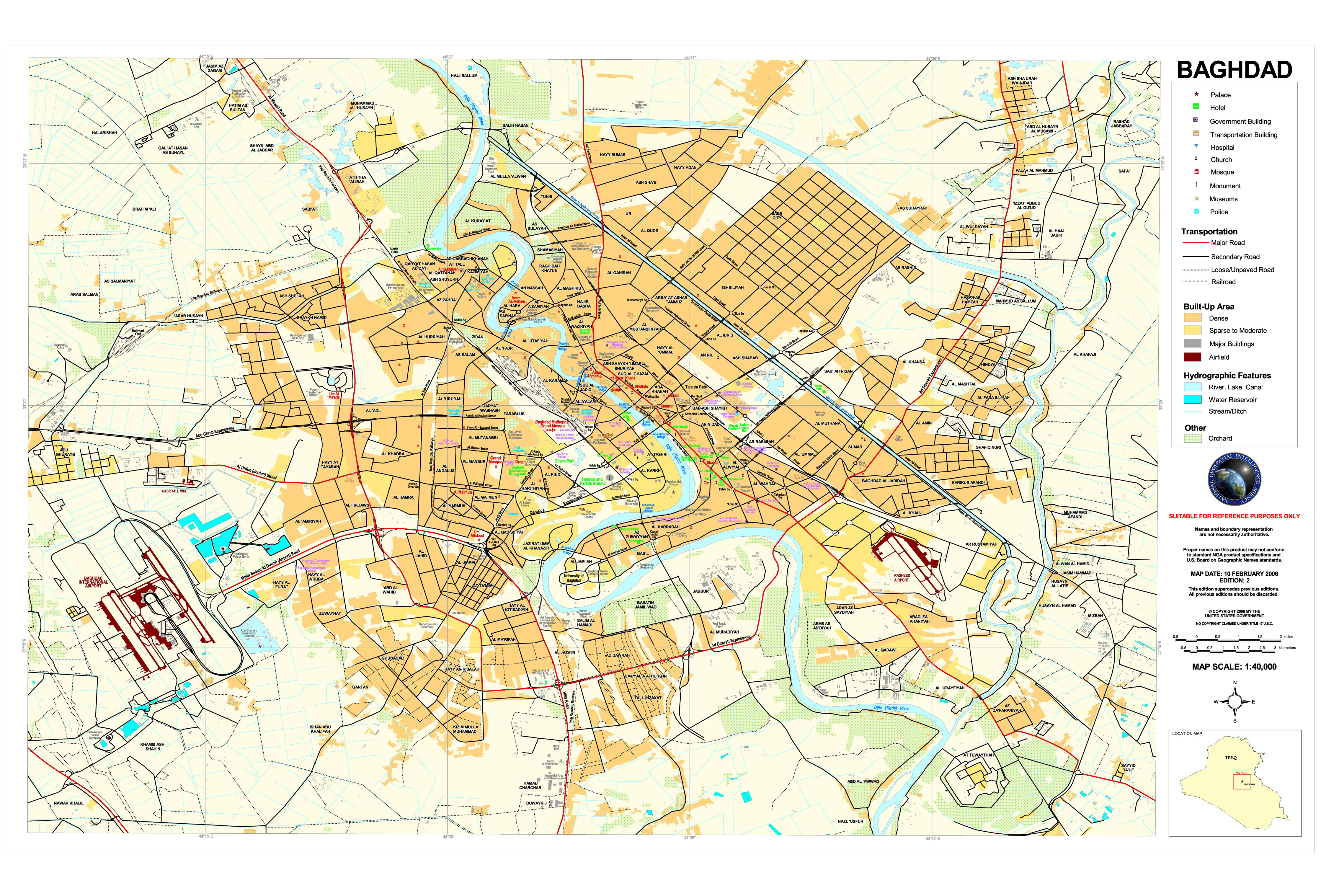
In 2006 the National Geospatial-Intelligence Agency published a map of Bagdad with infrastructure:
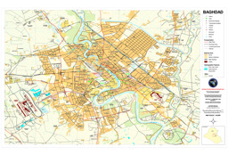
Baghdad: City map with infrastructure
Baghdad National Geospatial-Intelligence Agency 2006 (Map or infographic, English)
Find more city maps in the ecoi.net search.
More maps
More maps and infographics with the option to use filters can be found in the ecoi.net search: Iraq maps on ecoi.net. Please note that the recognition of text in graphical documents such as maps often does not work well. This means that place names often can't be found in the full-text search, even when the name is visible on a map.
(Last update 12 March 2024)

- Austrian Red Cross
- Austrian Centre for Country of Origin and Asylum Research and Documentation (ACCORD)
- Wiedner Hauptstraße 32, 1041 Wien
- T +43 1 589 00 583
- F +43 1 589 00 589
- info@ecoi.net
ecoi.net is run by the Austrian Red Cross (department ACCORD) in cooperation with Informationsverbund Asyl & Migration. ecoi.net is funded by the Asylum, Migration and Integration Fund, the Austrian Ministry of the Interior and Caritas Austria. ecoi.net is supported by ECRE & UNHCR.