This page gives you an overview on maps about Somalia collected on ecoi.net. More maps are available in our full-text search.
Ethnic groups and topography
A 2012 CIA country profile contains maps on clan distribution, population density, land use and economic activity:
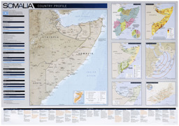
Political map, population map, topical map and situation map with administrative divisions, mountains, major roads and water bodies (clan distribution; population density; land use; economic activity)
Somalia Country Profile 2012 (Wall Map) (Map or infographic, English)
In 2002, the CIA published a map showing the distribution of ethnic groups:
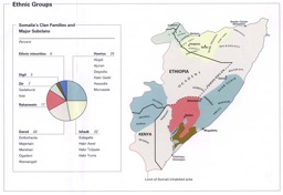
Population map on the distribution of ethnic groups
Ethnic Groups (Map or infographic, English)
Administrative divisions
In May 2022, the UN Office for the Coordination of Humanitarian Affairs published an infographic by the Global Protection Cluster on the protection response that contains administrative divisions at the regional level:
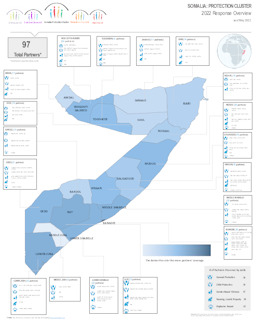
Infographic with administrative divisions (province level) on protection response
Somalia: Protection Cluster; 2022 Response Overview as of May 2022 (Map or infographic, English)
Cities
In January 2014, UN-Habitat published an urban analysis of Mogadishu:
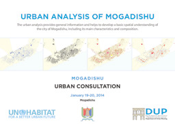
Mogadishu: City maps on infrastructure and the humanitarian situation
Urban Analysis of Mogadishu; Mogadishu; Urban Consultation (Map or infographic, English)
UN-Habitat also published a number of urban profiles of Somalia, which contain maps. They can be found under the following link: UN-Habitat urban profiles on Somalia.
In 1993, the CIA published two maps of Mogadishu:
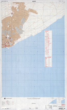
Mogadishu: City map
Muqdisho (Map or infographic, English)
Topgraphy
Early in the 1990s, the National Imagery and Mapping Agency oft he US Department of Defense created (in part in collaboration with Canada) a series of topographic maps on the south of Somalia and the coastal strip in the north:
- South: https://maps.lib.utexas.edu/maps/topo/somalia/
- North: https://maps.lib.utexas.edu/maps/topo/somalia/index-y629.html
More maps
More maps and infographics with the option to use filters can be found in the ecoi.net search: Somalia maps on ecoi.net. Please note that the recognition of text in graphical documents such as maps often does not work well. This means that place names often can't be found in the full-text search, even when the name is visible on a map.