Maps
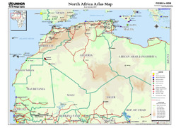
Thematic map of North Africa with main roads, main towns and villages as well as refugee locations
North Africa: Atlas Map (as of January 2007) (Map or infographic, English)
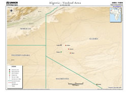
Tindouf area: Situation map with infrastructure (roads; railway), main towns and refugee camps (as of December 2004)
Algeria - Tindouf Area; As of December 2004 (Map or infographic, English)
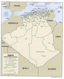
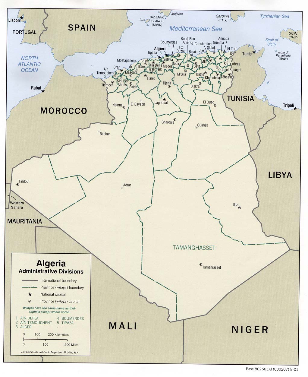
Political map with administrative divisions (province level) and main cities
Algeria: Administrative Divisions 2001 (Map or infographic, English)
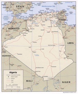
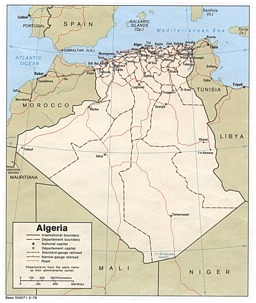
Thematic map on infrastructure (roads; railway) with main cities
Algeria (Political) 2001 (Map or infographic, English)
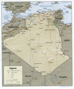
Thematic map on infrastructure (roads; railway) with main cities
Algeria (Shaded Relief) 2001 (Map or infographic, English)
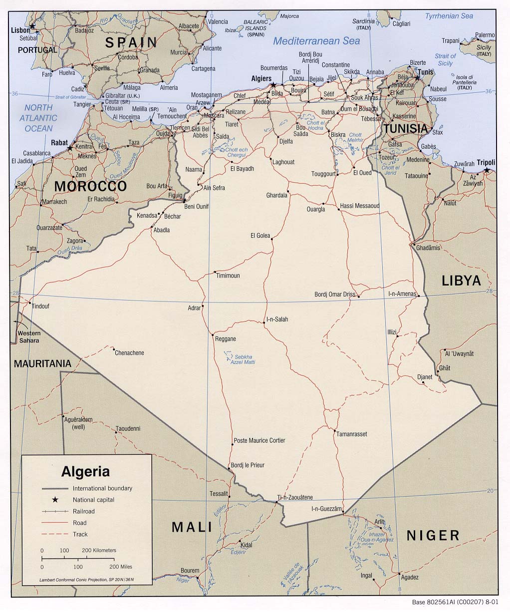
Thematic map on infrastructure (roads; railway) with main cities
Political map (Map or infographic, English)

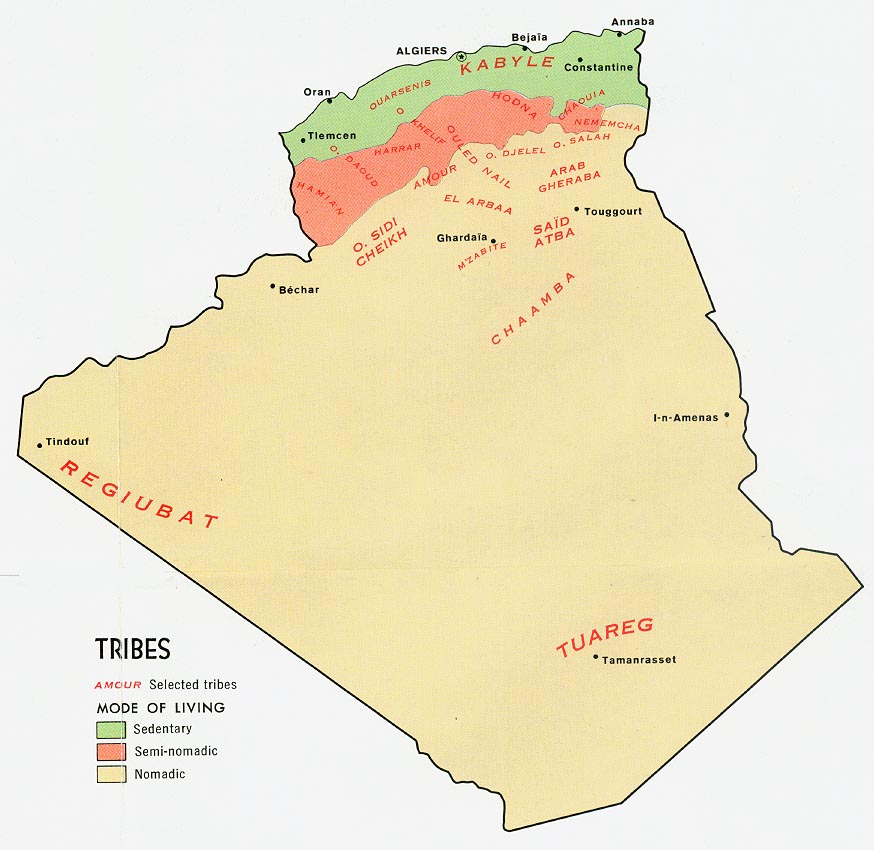
Population map on the distribution of tribes
Tribes from Map No. 78692 1971 (Map or infographic, English)


Documents found: 57
